
NDWI report
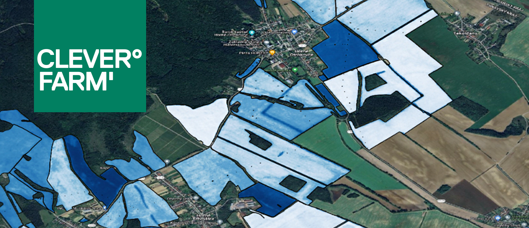
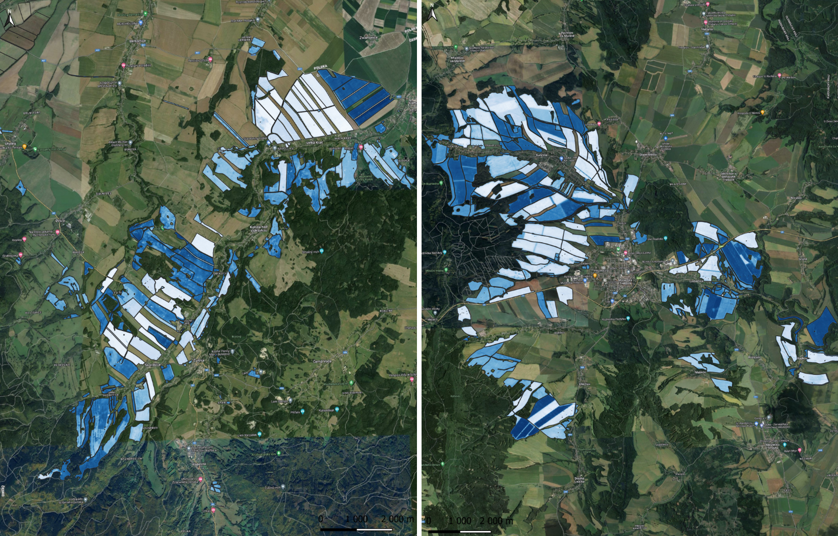
NDWI – Crop Maturity Index
NDWI (Normalized Difference Water Index) significantly simplifies decision-making about when and on which fields to begin harvesting. It shows the moisture level in the crop and helps better time the harvest.
This satellite data-based tool provides accurate information about crop moisture. It uses the green and near-infrared (NIR) spectral bands, which are used to identify water content in plant leaves. The result is a clear map displaying index values for all your fields.
The combine goes where it makes sense
During harvest, it is often difficult for agronomists to estimate crop moisture levels without precise data.
NDWI solves this problem – it shows you which parts of the field are driest and therefore ready for harvest. This allows you to send the combine exactly where the crop is ready to be harvested and avoid harvesting overly moist fields.
You’ll save time, reduce the risk of losses, and increase the overall efficiency of the harvest.
How do our clients evaluate the benefits of NDWI?
At the Poľnohospodárské družstvo Trenčianska Turná, the NDWI index saved us a lot of time last year – we didn’t have to walk the fields with handheld moisture meters. It was especially helpful with corn, where the precise data allowed us to plan the harvest more effectively. We’ll definitely be using the NDWI index from CleverFarm again this year.
Ing. Milan Ščigulinský
Poľnohospodárske družstvo Trenčianska Turná