
Working with the Map
The map is the gateway to the application. Learn how to navigate it efficiently.
As the opening page of the application, the map provides a basic overview of your farm. It serves not only to display individual crops and other auxiliary layers but also allows for geographical editing of parcels.
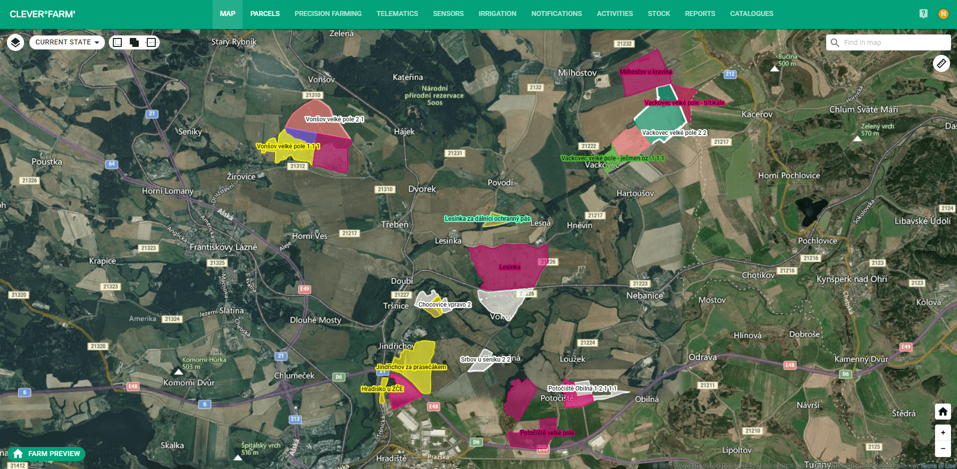
Fig. 1: The map is the opening page of the application
On the map, you currently find these features:
- Search by cadastral code and local name.
- Color differentiation of parcels by crops with the option to turn off colors in the layer menu.
- Graphic display of the future sowing plan.
- Detailed information about a parcel when clicked on.
- Basic editing options - splitting and merging parcels.
- Length and area measurement.
- Display and hide individual layers, e.g., watercourses, cadastral boundaries, etc.
- Display of village, town, and state borders.
We are gradually adding more features..
Editing
Using parcel editing, you can prepare your sowing plan, divide the Farmer block area into individual parcels (one crop, one parcel). Complete editing options are currently available only on the old map.
- Edit Parcel: Fine adjustments using individual points around the plot boundary. You can drag, add, or remove points.
- Merge Parcels - merge parcels within a Farmer block area.
- Split Parcel - divide a parcel with a simple line.
- Split Parcel via Buffer - a buffer is created around the entire parcel boundary at a specified width, creating a new parcel along the original parcel's perimeter.
- Split Parcel via Partial Buffer - similar to a regular buffer, but the user specifies the portion of the boundary where the buffer should be applied. The tool selects the shorter connection between these points. A mirroring function is available for selecting the longer connection.
- Draw Absolute Area - define an absolute area for deduction that will be automatically included in activities as a deduction. For features like manure pits, roads, or other parts of the parcel where no crop is currently present.
- Delete Absolute Area - remove an absolute area for deduction. The area will disappear, and it will no longer be deducted from activities.